How to Find Your Way Around Without GPS in Deralakatte
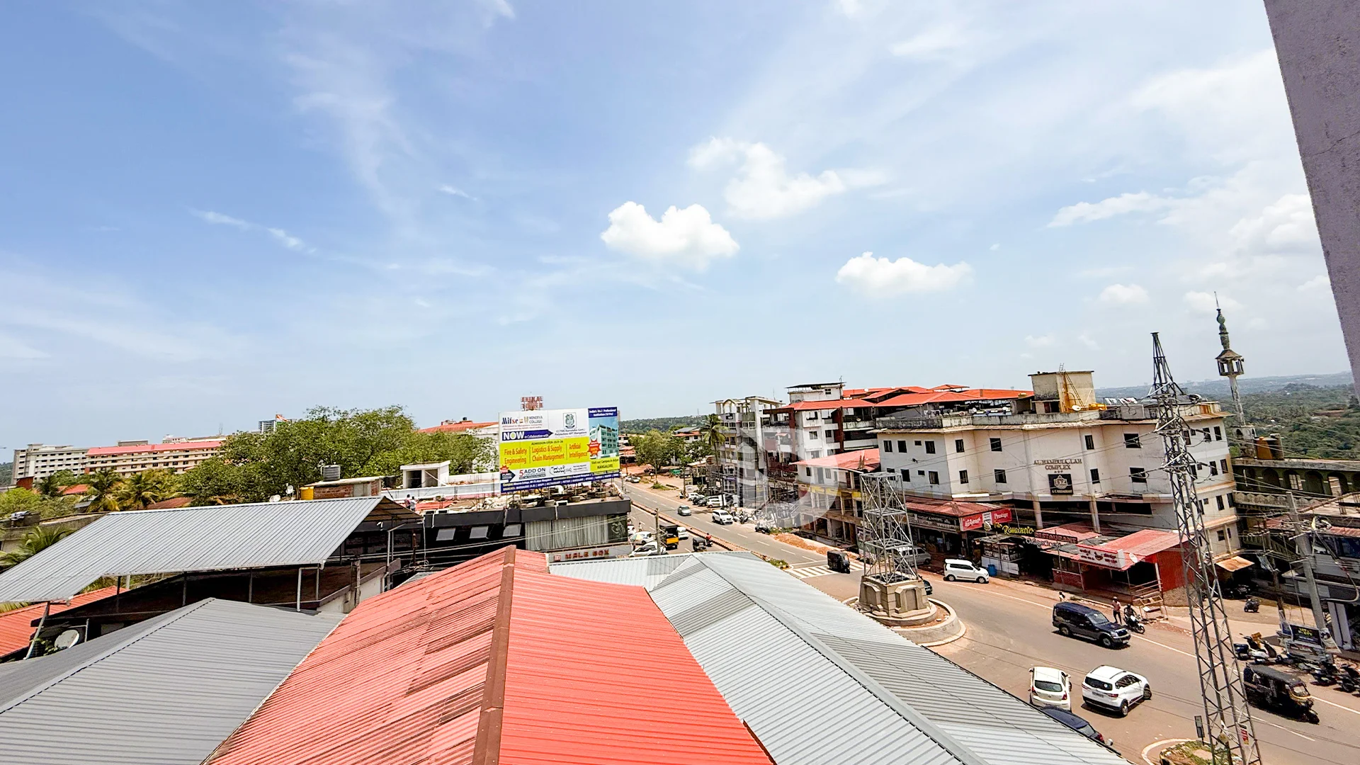
Deralakatte, a bustling and growing suburb on the southern edge of Mangalore, is known for its academic institutions, healthcare centers, and a lively student population. For newcomers and visitors alike, navigating Deralakatte without GPS might feel intimidating at first. The roads may seem similar, local traffic patterns can be unpredictable, and map data isn’t always accurate or updated in real time.
But here’s the good news: Deralakatte is surprisingly navigable even without GPS. If you’re prepared with some basic local knowledge, an understanding of the landmarks, and a little confidence, getting around becomes second nature.
In this guide, we’ll explore practical strategies to help you navigate Deralakatte without relying on GPS, all while soaking in the charm and character of the locality.
1. Get Familiar with the Key Landmarks in Deralakatte
The first rule of navigating without GPS is to build a mental map. Luckily, Deralakatte has several well-known landmarks that can act as your reference points:
- Major Educational Institutions: NITTE University, Yenepoya University, and Srinivas Group of Colleges are prominent landmarks.
- Hospitals: NITTE Hospital and Yenepoya Medical College Hospital are central and easily recognized by locals.
- Cafes and Stores: Many cafes and local mini-marts serve as recognizable spots—ask around using these names, and people will guide you.
- Religious Centers: Mosques, temples, and churches are also popular waypoints locals use when giving directions.
Once you remember these key places, you can easily ask for or follow directions relative to them.
2. Rely on Local Shops and Residents
In Deralakatte, people are generally friendly and helpful, especially to students and newcomers. If you’re unsure of your location or direction, don’t hesitate to ask locals.
Most shopkeepers, auto drivers, and pedestrians will be happy to guide you—even if you don’t speak the local language fluently. English and Hindi are widely understood among younger residents and in commercial areas.
Tip: Ask open-ended questions like “Which way to Yenepoya College from here?” or “How far is the NITTE Hospital from this store?”
3. Understand the Main Road Layout of Deralakatte
Deralakatte has a fairly simple road structure:
- One Main Arterial Road runs through the heart of the locality, connecting it to Thokkottu and Mangalore city.
- Smaller lanes branch off to hostels, PGs, residential homes, and academic departments.
- Many roads loop back to the main stretch, making it easy to reorient yourself if you get lost.
If you stick to the main roads and pay attention to landmarks at each turn, you can navigate even unfamiliar routes confidently.
4. Use Local Signage and Wall Paintings
While digital maps might not always be precise, physical signs in Deralakatte can guide you well. Several buildings, clinics, and institutions have painted signboards or direction arrows pointing to their locations.
These signs often appear on walls, street corners, or above small stores. If you see directional boards for multiple colleges or hospitals, you’re likely on or near the main road.
5. Travel During Daylight, At Least Initially
If you’re new to Deralakatte, try exploring the locality during the day first. Visibility is better, and you can take note of key turns, landmarks, or distinctive buildings like colored gates or corner stores.
Once you’re confident navigating during daylight hours, it will be easier to travel without GPS after dark as well.
6. Note Unique Features and Markers
Since many buildings in Deralakatte look similar, identifying unique features can help:
- Brightly painted gates
- Stores with distinctive names or color schemes
- Street vendor clusters
- Wall murals, trees, or boundary walls
Using these as personal markers will help you mentally track where you are in Deralakatte.
7. Take Photos for Reference
A simple trick for new residents or students is to take photos of key places and turns on your walking or biking route. If you’re worried about getting lost, a quick look through your gallery will jog your memory.
This method is especially helpful when heading to a new class, clinic, or cafe for the first time in Deralakatte.
8. Use Printed Maps or Hand-Drawn Sketches
For people staying long-term in Deralakatte, especially those avoiding digital distractions, keeping a hand-drawn map or printed layout of the area can be helpful.
You can mark your residence, regular destinations, and popular spots like bus stops or grocery stores. These visual references come in handy when navigating with minimal digital assistance.
9. Walk or Cycle Often to Learn Routes
Walking or cycling through Deralakatte is one of the most effective ways to learn its layout. Frequent movement through the area builds mental memory. You’ll begin to remember which lane leads to which hostel, shortcut, or campus gate.
Within a couple of weeks, you may find you don’t need directions at all—just a sense of direction.
10. Trust Your Instincts and Stay Calm
Getting slightly lost in Deralakatte isn’t uncommon, especially if you’re new. But since most roads eventually connect to the main stretch, you’ll rarely be too far off-track. The key is to stay calm, retrace your steps if needed, and ask someone nearby when unsure.
Final Thoughts
While it’s tempting to rely solely on GPS, navigating Deralakatte without it is completely doable—and in many ways, more enriching. You’ll connect more with the community, observe local life more closely, and build a stronger sense of direction.
Whether you’re a student settling in, a professional commuting, or a visitor exploring the locality, learning to find your way around Deralakatte without digital tools will deepen your understanding of this vibrant suburb.